 .
. Right of Way Index
Home-![]() .
.
.
. ![]() -Images
-Images
Right of Way Index
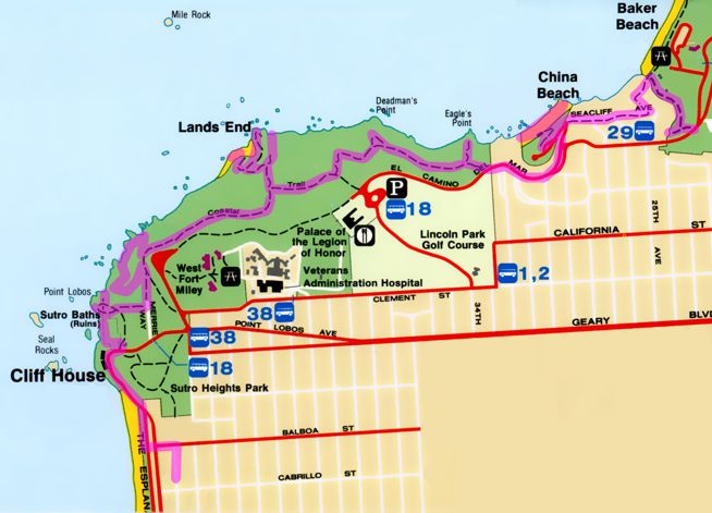
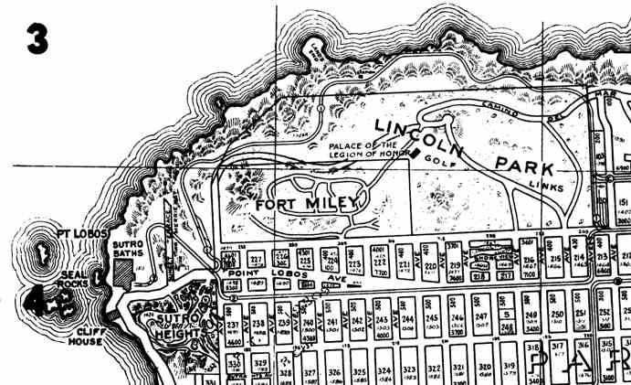
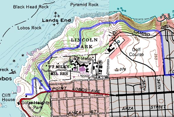
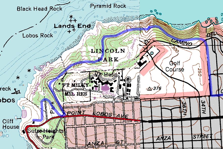
I walked along the Coastal Trail, which mostly follows the old railroad right of way, with some deviations due to erosion or disuse.Maps of perambulations below.
At the time, I wasn't planning on creating this webpage, so I didn't take a great number of right-of-way photos. Perhaps in the future, I will revisit it.
The following images are reproduced from The White Front Cars by Charles A. Smallwood.
Washout, February, 1925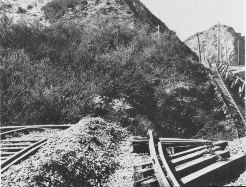
Larger image (800x600)
Deadman's Point, conversion to electric operation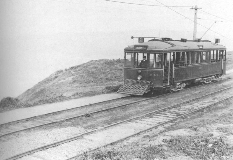
Larger image (800x600)
Near Land's End
Larger image (800x600)
![]()
Images
from the Right of Way as it is now.
Route detail map, route in magenta
Larger Map (700x400)
Very Large Map (22K GIF 2000x1200)